
Description
| Product Information | Item Details |
|---|---|
| Brand | Garmin |
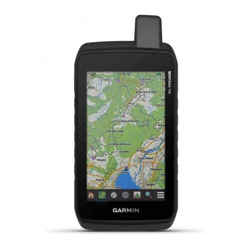
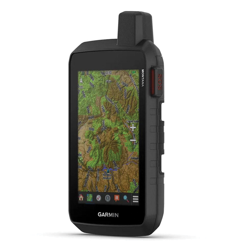
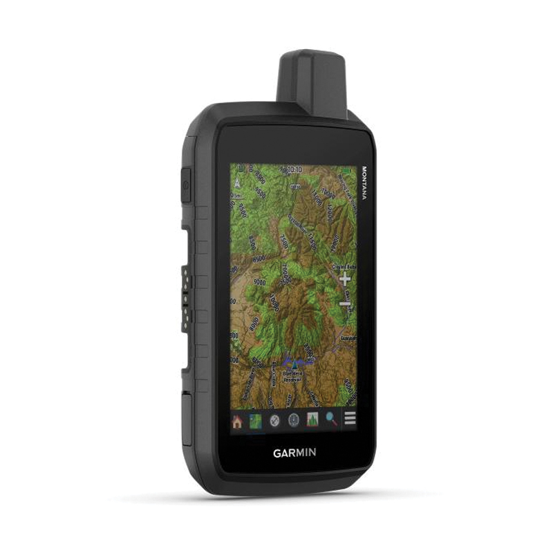
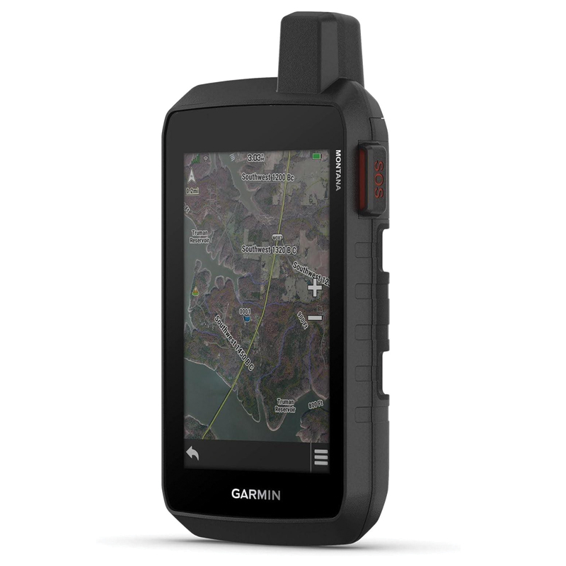
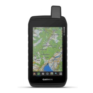
| Product Name | Montana® 760i |
| Part Number | 010-02964-11 |
| Product Type | Rugged GPS Handheld Navigator |
| Region | EMEA |
| Display Size | 5-inch |
| Display Type | Glove-friendly touchscreen |
| Display Resolution | 480 × 800 pixels |
| Preloaded Maps | TopoActive Maps |
| Map Manager | Yes |
| Satellite Systems | GPS, GLONASS & Galileo |
| inReach® Technology | Yes |
| Satellite Messaging | Two-way messaging via Iridium® satellite network |
| SOS | Interactive SOS available with active satellite subscription |
| 8MP Camera | Yes |
| Geotagging | Photos can be tagged with location |
| 3-Axis Compass | Yes |
| Barometric Altimeter | Yes |
| BirdsEye Satellite Imagery | Supported |
| Outdoor Maps+™ | Supported |
| Garmin Explore™ | Compatible |
| Wireless Connectivity | Wi-Fi®, Bluetooth®, ANT+® |
| External Antenna Port | Iridium & GNSS antenna connection |
| microSD™ | Supported |
| Water Resistance | IPX7 |
| Rugged Standard | MIL-STD-810 |
| Battery | Rechargeable lithium-ion |
| GPS Battery Life | Up to 18 hours |
| Expedition Mode | Extended battery life |
| Use Cases | Hiking, trekking, cycling, ATV, off-road, hunting and outdoor navigation |
| Mounting | Compatible with Montana mounting accessories |

Reviews
There are no reviews yet.